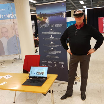
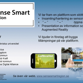
Today we passed our first sprint. The first sprint included some parts of a demo application showing information as augmented reality at Möjligheternas Torg in Skellefteå.
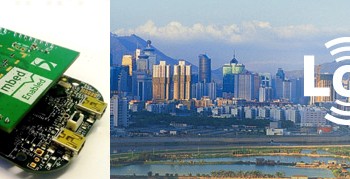
Cartesia made a demo using GPS and compass, no image processing, showing sewage well lids as AR. Data are refreshed once per day, (measured per hour). Manual geocoding. Level, temperature, battery voltage + visual mode.
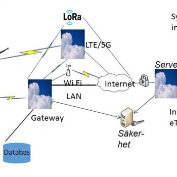
DataDuctus provides a Restful- / Json- API to get data. Also push data if emergency.
Cartesia use the API to get data. We need to improve positioning of infrastructure. Today the accuracy is about 10 meters.Today we